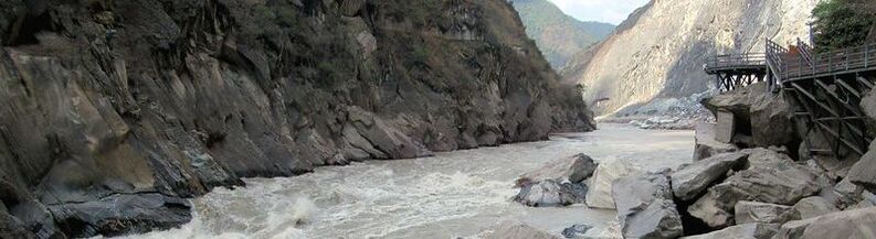
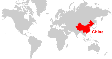
China is a country in Eastern Asia that boarders the East China Sea, Yellow Sea, Korea Bay, South China Sea, and resides between North Korea and Vietnam. China consists of about 9,326,410 sq km of land and 270,550 sq km of water. In total that's 9,596,960 sq km. The country's climate varies where, typically, locations in the south follow trends of tropical climates in comparison to locations in the north. While having plains, deserts, and deltas, the land is mainly made up of mountains and plateaus. In addition, China has many infamous volcanoes that are currently dormant but still seen as as threat. As for other natural disasters, it's estimated that about five typhoons per year hit Southern and Eastern China. These disasters are often accompanied by earthquakes, droughts, floods, tsunamis, and land subsidence.
Sources: CIA The World Factbook
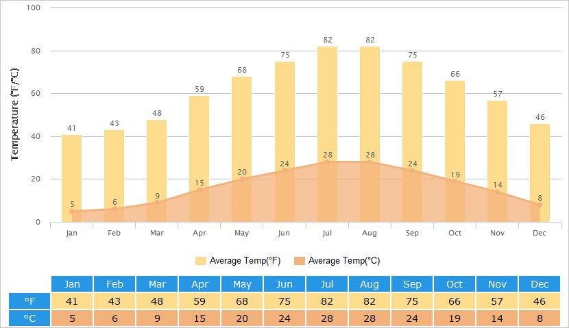
Graph of average temperatures for each month in Shanghai, China.
Source: TravelChinaGuide.htm
SHANGHAI'S GEOGRAPHY
Shanghai, China's most populous city, however, does not contain many mountains. The few mountains in Shanghai are located in the southwest Qingpu and Songjiang Districts. Shanghai was built in the Yangtze River Delta and as a result, has lots of dirt and mud that's carried to the Eastern side. The Yangtze River runs straight through the city and connects to other waterways such as the Huangpu River. The Yangtze runs Eastwards towards the sea and because of its immunity to freezing, provides transportation as well as strength in irrigation systems. Furthermore, Dianshan Lake, the largest freshwater lake in Qingpu Providence, provides several water-related goods. These series of waterways cause the ground and soil in Eastern Shanghai very soft. In contrast, the western side of Shanghai is built off of mainly plains. Shanghai goes through all four seasons and generally experiences rainfall during June-September.